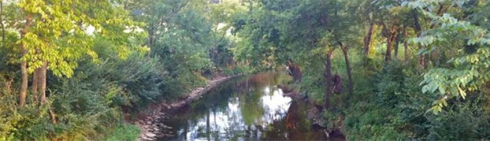
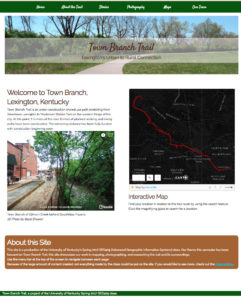
 During the spring 2017 semester at the University of Kentucky, a group of 18 students in GEO 409 (Advanced Topics in GIS) created a website of maps for Town Branch Trail. The students focused on a completed alignment for the trail, which has been funded and partially completed during class. Students participated with a full spectrum of map-making and publishing; they GPS mapped and photographed points of interest, created topographic maps of the trail corridor, and made detailed, interactive maps using 3d data for building structures.
Students participated a full spectrum of map-making and publishing; they GPS mapped and photographed points of interest, created topographic maps of the trail corridor, and made detailed, interactive maps using 3d data for building structures. They used GitHub to share their work and published a website for their research. Furthermore, they used mostly free and open source software and data.
Please check out their website here:Â https://reece2ke.github.io/geo409_site