|
• Proposed
Phase III, 2007 Town
Branch Phase III
|
 |
|
•
Town Branch Trail Guide Town
Branch Trail Guide
|
|
|
| •
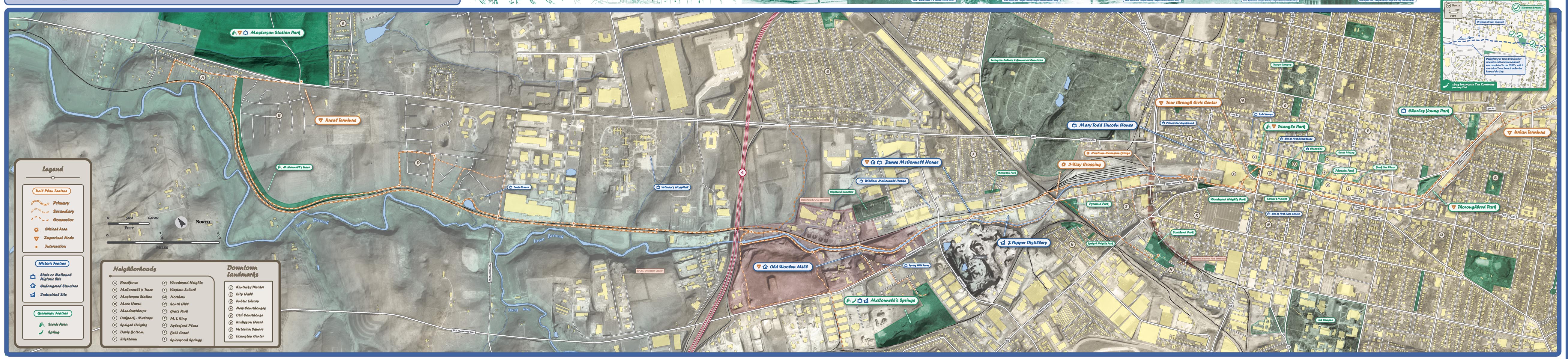
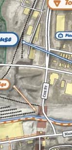
Our Trail Plan We offer the trail plan in numerous formats for on-screen viewing and printing. Detailed Trail Alignment Map A fine-detail color map for print • 1.2m color jpg image • 1.5m pdf • 4.5m complete map pdf • 4.4m Flash™ map browser Summary of Trail Alignment The map from our newsletter viewable without plug-ins. • 250k b&w jpg image A Photograpic Tour of the Trail A photo gallery of destinations from complete trail plan pdf Newtown
Pike Extended |
 |
|
| •Help
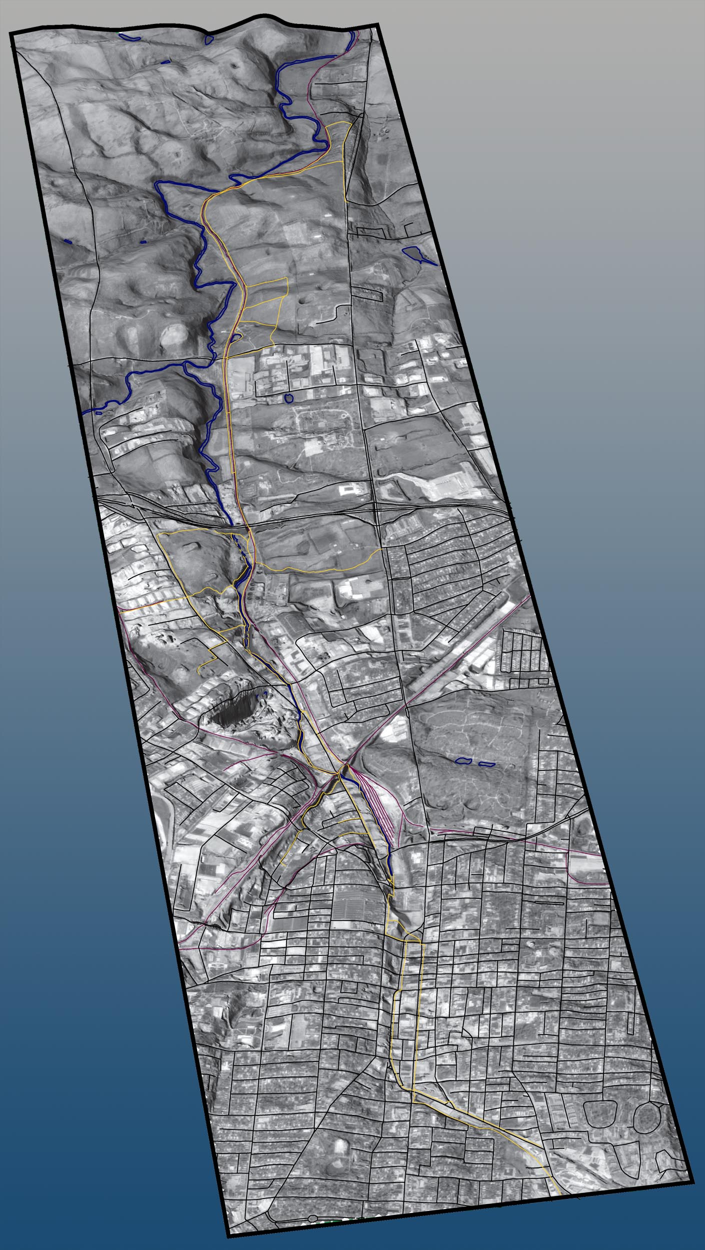
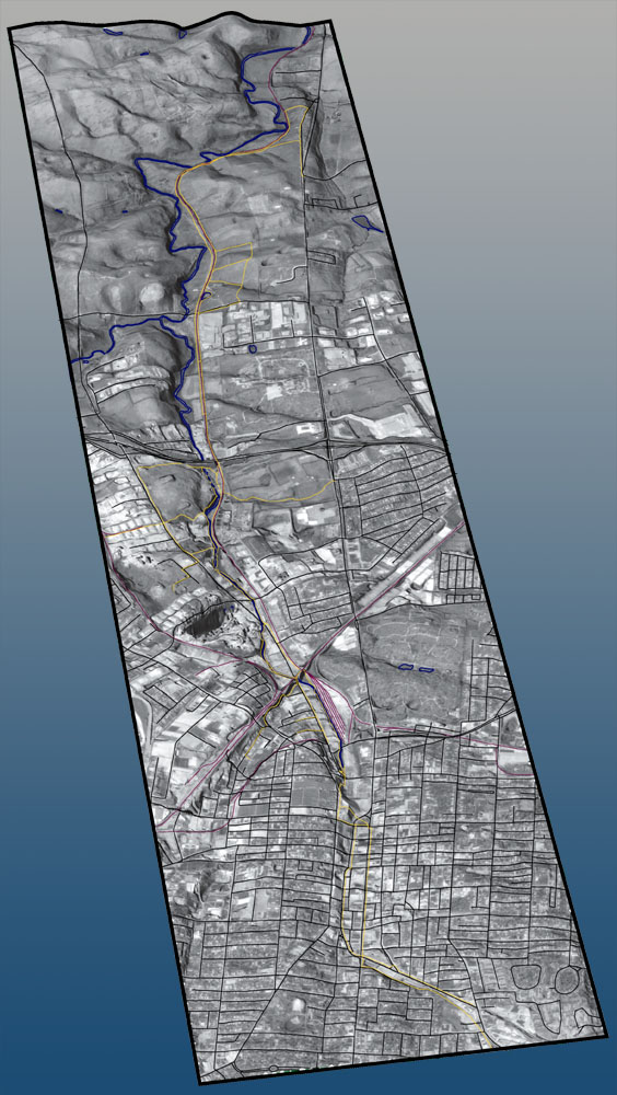
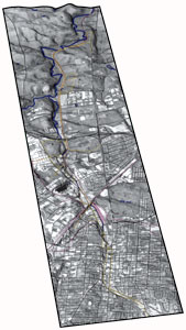
us create our 3D Map This is a draft visualization. If you would like to make this map better, then contact Boyd at boyd@townbranch.org Large Graphic ( .jpg image: 450k) Small Graphic ( .jpg image: 150k) *Yellow is Trail, Blue is Water, Pink is Railroad, and Black is Road. |
 |
|
| •
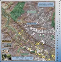
Locate Town Branch Creek easily on this regional map of the Central Bluegrass. (GIF 40K) |
 |
|
 |
||
| • Town Branch flows into the South Elkhorn and then meets the Kentucky River at Frankfort. (GIF: 70K) |  |
|
|
||
| •Historic
Maps of Lexington |
||
| • 1871 Bird's Eye View of Lexington (1.5M PDF) | 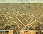 |
|
| • 1833 Map of Lexington (300K PDF) | 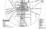 |
|
| • 1855 Map of Lexington (300K PDF) |  |
|
| •
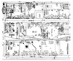
1886 Sanborn Maps of Lexington
(300k each) |
 |
|
| • 1771 Filson Map of Kentucky (350K PDF) | 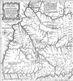 |
|
| • 1775 British America (1.5M PDF) | 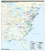 |
|
 |
||